
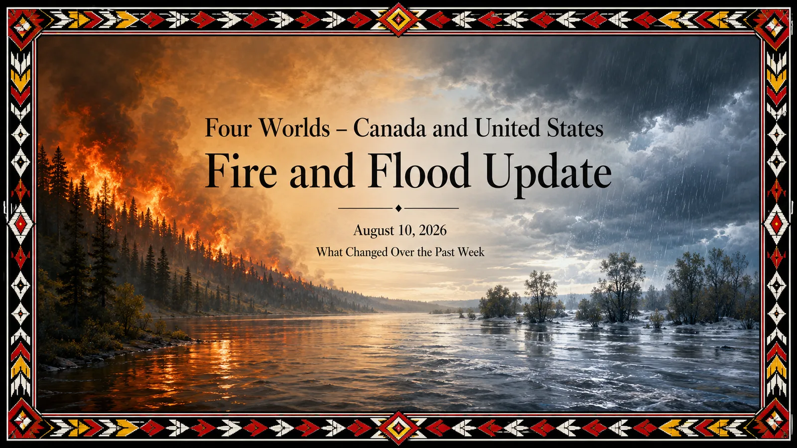
The most important development this week is that wildfire pressure remains extremely high across western North America rather than showing a decisive seasonal easing. In the United States, the national wildfire preparedness level remains at Level 5, the highest level. On August 3, federal agencies were reporting 102 uncontained large fires; by August 10 that number had edged down to 98, but nine new large fires were reported, and nearly 30,000 personnel remained committed nationwide. The area associated with active large incidents increased from about 3.20 million acres on August 3 to about 3.74 million acres on August 10.
The Pacific Northwest remains the center of the U.S. wildfire emergency. Washington and Oregon together account for a very large share of the national response. Some individual fires expanded dramatically during the week: Washington’s Little Giant Fire increased from roughly 38,500 acres on August 3 to more than 111,000 acres on August 10, while Oregon’s Big Grass Fire grew from about 337,000 acres to more than 541,000 acres. Numerous fires continue to threaten residences, roads, communications, and other critical infrastructure.
Canada continues to face a serious wildfire emergency as well, particularly in British Columbia and in First Nations communities. The federal government reported that, as of August 7, 27 First Nations were currently affected by wildfires, 14 were under evacuation, and 2,931 people remained evacuated. Since April 1, 77 First Nations eligible under the Emergency Management Assistance Program have been affected, and 8,325 people have been evacuated. Twenty of the 27 currently affected Nations are in British Columbia.
Wildfire and Smoke — Greatest Risk Now
The greatest combined wildfire and smoke concern remains southern and interior British Columbia, Washington, Oregon, northern California, the northern Great Basin and parts of the northern Rockies. Canada’s national seasonal outlook had already identified southern interior British Columbia as an area of above-normal August fire danger, while the North American fire outlook continues to identify above-normal significant fire potential across portions of the Northwest, northern California, northern Great Basin and central Rockies.
Smoke is currently becoming a major hazard of its own in British Columbia. On the morning of August 10, Kamloops recorded an Air Quality Health Index above 10, classified as very high risk, and the Central and South Okanagan, Cranbrook and North Okanagan were also experiencing or forecast to experience high to very high smoke-related air-quality risk. Banff National Park was under an Environment and Climate Change Canada air-quality warning because wildfire smoke was producing poor air quality and reduced visibility.
This is an observed present-day hazard, not a seasonal projection. Smoke concentrations can change rapidly with wind direction, but the current situation means that communities hundreds of kilometers from active flames can still experience significant impacts. Environment and Climate Change Canada’s wildfire modeling continues to track PM2.5 movement across North America over approximately the next 72 hours.
Extreme Heat and Drought — What to Watch Through August 23
The most important emerging U.S. hazard for the second half of August is a potentially prolonged episode of dangerous heat across the south-central and southeastern United States. NOAA’s Climate Prediction Center now identifies a high risk of extreme heat from August 17–19 across portions of the Southern Plains, Lower Mississippi Valley and Southeast, with moderate heat risk continuing across a broader region through August 21. NOAA indicates that some locations could experience heat-index values above 110°F, about 43°C, with unusually warm nights providing limited recovery from daytime heat. This is a forecast, not an observed event yet.
The heat threat is increasingly intertwined with drought. NOAA has designated a rapid-onset drought risk across portions of Oklahoma, northeastern Texas and eastward into the Lower Mississippi Valley because rainfall deficits are already present and little precipitation is expected during the next two weeks. Higher temperatures would accelerate evaporation and vegetation drying. The broader August–October U.S. drought outlook favors drought persistence across portions of the High Plains and southern Texas.
In Canada, the latest fully analyzed national drought assessment still shows British Columbia as a central concern. Extreme drought had developed in portions of the Thompson–Okanagan and Nechako Plateau, with very low streamflow, irrigation restrictions, and agricultural impacts already reported. Because the Canadian Drought Monitor is monthly rather than a real-time product, these conditions should be viewed as the established drought background upon which August heat and wildfire weather are now operating rather than as an August 10 snapshot.
Flooding and Severe Rainfall
While western areas remain dry and fire-prone, parts of the central and eastern United States face the opposite hazard. NOAA’s Weather Prediction Center identifies excessive-rainfall potential across portions of the Midwest and Ohio Valley, with a slight risk extending into parts of the Upper Great Lakes and Upper Mississippi Valley during the next several days. By August 17–20, NOAA’s week-two outlook broadens the potential for heavy precipitation from the Four Corners through portions of the northern and central Plains, Midwest, Tennessee Valley, Appalachians, Northeast and Mid-Atlantic.
This remains a forecast risk, and it does not mean all of those regions will flood. The important pattern is that North America continues to hold sharply contrasting hazards at the same time: severe wildfire and drought conditions in parts of the West while corridors farther east face repeated opportunities for heavy rainfall and flash flooding. NOAA specifically notes that even comparatively modest rainfall can create flash-flood danger in dry western canyons and arroyos.
Hurricanes and Tropical Storms
The Atlantic is becoming more important as we move deeper into A. Still, there is no immediate indication of a major hurricane threat to Canada or the continental United States. The National Hurricane Center is monitoring tropical disturbances over the Atlantic, including a system with some possibility of development during the com. Still, current systems remain in the developmental stage.
This should nevertheless remain on the weekly watch list because the climatological peak of Atlantic hurricane activity still lies ahead in September. A disturbance that is weak today can have a very different status a week later, and tropical systems can become major flood events after landfall even when winds weaken. The important distinction this week is therefore: tropical development is being monitored, but a specific major U.S. or Canadian landfall is not presently forecast.
Indigenous and Remote Communities
The clearest humanitarian warning continues to come from Canada’s First Nations. As of August 7, 2,931 people from 14 First Nations remained displaced by wildfire, with British Columbia carrying most of the currently affected communities. These figures reinforce the disproportionate burden that wildfire places on Indigenous communities, particularly those with limited road access, fewer nearby health facilities,s and longer evacuation distances.
The U.S. fire situation also has direct Tribal implications. Several significant Pacific Northwest fires are burning on or near lands managed by Tribal and Bureau of Indian Affairs agencies. The Kaiser Canyon Fire near Nespelem, Washington, on the Colville Agency, continued to threaten structures and communications infrastructure on August 10, while other active incidents include fires associated with the Spokane and Warm Springs agencies.
For remote communities, smoke deserves as much attention as flame location. Evacuation may not always be necessary, yet prolonged smoke can still affect Elders, children, people with respiratory or cardiovascular conditions, outdoor workers and communities without dependable access to mechanically filtered indoor air. The present high and very-high AQHI readings across parts of interior British Columbia make this an immediate issue rather than a theoretical one.
The Next 1–2 Weeks
The main watch period is August 10–23. The Pacific Northwest and interior western Canada remain vulnerable to additional wildfire growth and new ignitions because substantial fires are already burning within dry landscapes. Fire activity may fluctuate with short periods of cooler weather or precipitation, but the seasonal fire environment remains capable of supporting significant incidents.
At the same time, the center of the extreme heat is expected to shift toward the Southern Plains, Lower Mississippi Valley, and Southeast during roughly August 17–21. That heat, combined with limited rainfall, could accelerate rapid drought development across parts of the south-central United States. Farther north and east, periodic thunderstorms and frontal systems may generate heavy rain and localized flash flooding from the Plains through the Midwest and eventually toward the Appalachians and Northeast.
The larger North American picture is therefore one of multiple simultaneous hazards rather than one dominant continental emergency. Western wildfire and smoke remain the most immediate large-scale threat; heat and rapid-onset drought are poised to intensify across the south-central United States; heavy-rain corridors remain possible farther north and east; and the Atlantic tropics are beginning to require increasingly close attention.
For Indigenous and remote communities, the most important near-term concern remains the cumulative burden. A community does not experience wildfire simply as acreage burned. Fire can mean evacuation, separation from homelands, disruption of medicines and food supplies, loss of transportation access, prolonged smoke exposure and difficulty returning home even after immediate danger has passed. With thousands of First Nations people still displaced in Canada and major fires continuing on and near Tribal lands in the Pacific Northwest, that human dimension remains central to the hazard picture this week.
How Much of the 2026 Fire Season Is Still Ahead?
One of the most important realities to understand is that August 10 is not the end of the wildfire season. In many parts of western Canada and the western United States, we are still within its most dangerous portion. The landscape has already experienced months of drying, large fires are established on the ground, and every additional warm, dry week can remove still more moisture from forests, grasslands and deeper organic fuels. Canada’s 2026 outlook entered the summer expecting above-normal temperatures across nearly all regions through August, while drought and accumulated dryness remain important parts of the western fire environment.
There is therefore good reason to think in terms of weeks rather than days before the overall fire threat substantially declines. August is historically the month of greatest national wildfire-resource demand in the United States: the National Interagency Fire Center’s 10-year average preparedness level is higher in August than in any other month, and the United States is presently at Preparedness Level 5, the highest level. September normally brings some reduction nationally, but it remains a major fire month.
The present U.S. seasonal outlook is particularly important because it does not anticipate an abrupt end to western fire danger when August ends. Above-normal significant-fire potential is forecast through September across much of the Pacific Northwest, California, northern Nevada, southwest Idaho and portions of the Idaho Panhandle. Some areas are expected to remain above normal even into October, particularly southwest Oregon and parts of northern and Southern California, with Southern California potentially remaining above normal into November.
This means the next three to seven weeks could remain a very consequential period. It would be too strong to say that meaningful rain simply will not come—individual Pacific systems, thunderstorms and regional rain events certainly can occur. The more important point is that one rainfall event does not necessarily end a mature fire season. After prolonged drying, substantial and sustained precipitation, cooler temperatures, shorter days and higher humidity are generally needed before the broader landscape begins making a dependable seasonal transition away from extreme fire behavior.
There is another reason for concern. Large fires already burning in August do not start over each morning. They carry forward enormous perimeters, hot interior areas, and difficult terrain. A period of cooler or damper weather may reduce fire behavior temporarily without extinguishing these fires. If another hot, dry and windy period follows, portions can become active again. At the same time, lightning or human-caused ignitions can create additional fires in landscapes that are progressively drying.
Consequently, the danger during the remainder of August and September is not simply that today’s fires continue. It is the possibility of existing large fires, new ignitions, repeated smoke episodes, and increasingly stretched firefighting resources occurring together. The United States being at Preparedness Level 5 is significant precisely because it indicates that national resources are already heavily committed and extraordinary coordination measures are required.
For Canada, particularly British Columbia and other western and northern regions, the timing of the true seasonal break will depend greatly upon when sustained autumn weather arrives. September can bring cooler nights and shorter daylight, which gradually work in favor of firefighters, but historically serious fires can continue well into September and occasionally beyond. The calendar changing from August to September does not itself end wildfire season.
So, looking forward from August 10, a reasonable planning assumption is that western North America may still have a substantial part of the 2026 wildfire challenge ahead of it. The remainder of August deserves especially close attention, September cannot yet be regarded as safe, and some western U.S. regions are forecast to retain elevated significant-fire potential into October or later. The eventual turning point will come not from a particular date but from a sustained seasonal change—repeated precipitation, cooler temperatures, higher humidity, and enough moisture recovery to finally slow the landscape as a whole.